Service
Visual Aerial Surveys in Cyprus
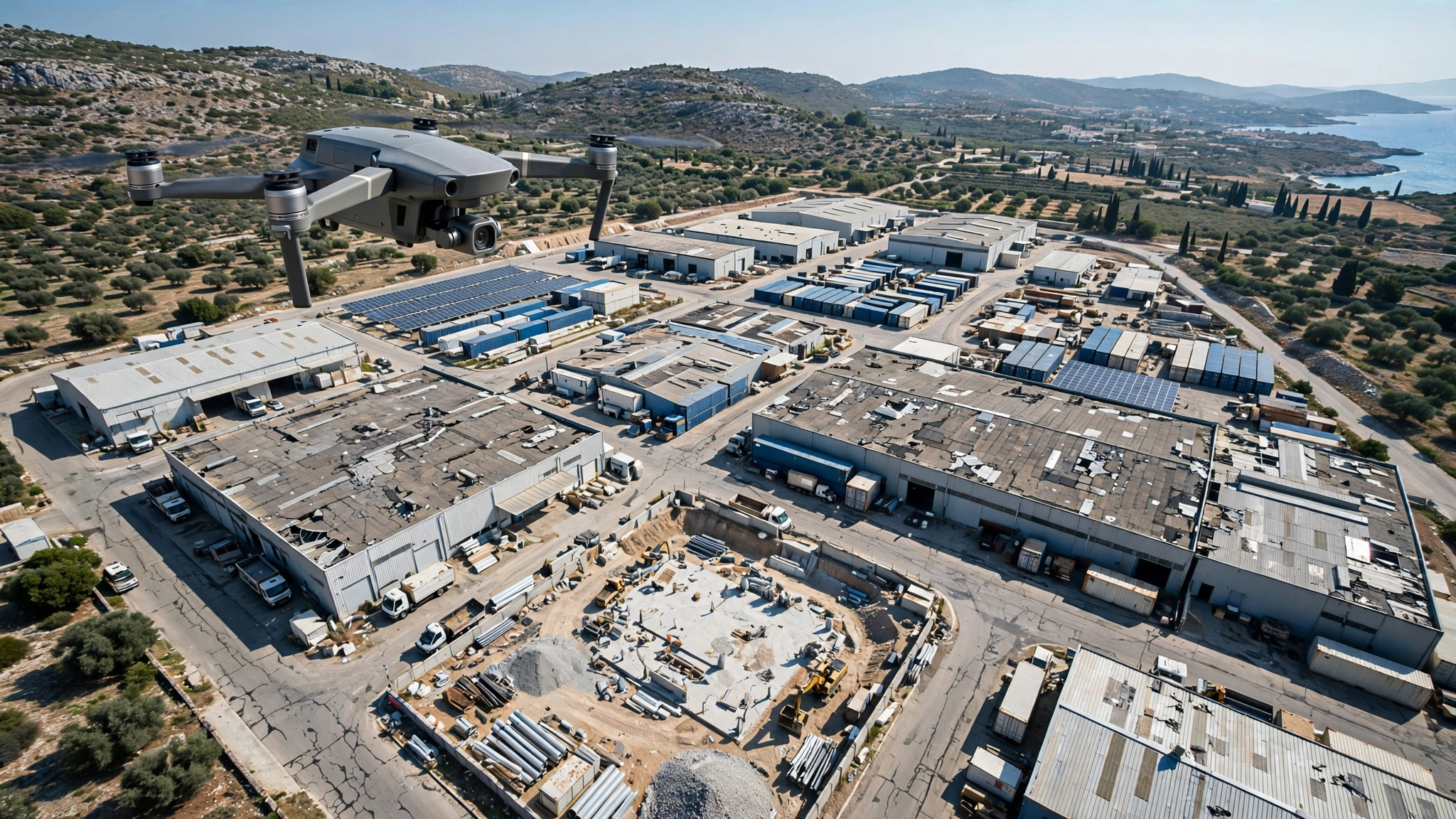
MIH Advanced Aerial Inspections provides professional visual aerial surveys in Cyprus using drone-based imaging to document rooftops, industrial facilities, infrastructure, construction sites and hard-to-access assets safely and efficiently.
Visual aerial surveys provide clear, high-resolution documentation of assets, sites and structures. They are useful for inspections, condition monitoring, progress records and management reporting.
What Can Be Detected?
Clear findings for better decisions.
- Visible defects
- Site progress
- Access limitations
- Surface condition
- Asset documentation needs
- General condition changes
Methodology
Planned around safety and data quality.
Survey planning considers image coverage, required viewpoints, site safety and reporting objectives.
Deliverables
Professional reporting and recommendations.
Site overview
Observation notes
Annotated findings when required
Supporting documentation
See More. Know More. Protect More.