Our Expertise
Aerial Surveys, Photogrammetry & 3D Mapping
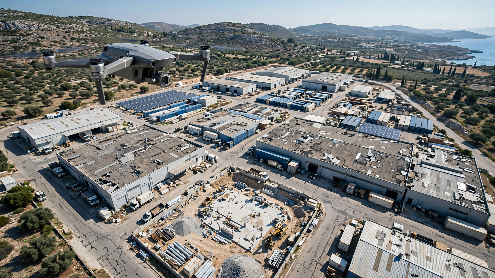
Document sites and construction progress with aerial imagery, orthomosaics and 3D models tailored to your project.
Turn aerial imagery into a clear record of your site. We provide visual surveys, construction progress documentation and photogrammetric outputs to help teams understand site conditions, communicate changes and plan work. Deliverables can include aerial photographs, orthomosaics, 3D models and stockpile volume estimates, according to the agreed scope and accuracy requirements.
Aerial capture can reduce the need to walk across uneven terrain, climb stockpiles or enter active work areas to collect site information.
What Can Be Detected?
Clear findings for better decisions.
- Existing site layout and visible surface features
- Construction progress and changes between visits
- Visible condition of elevated or difficult-to-access areas
- Stockpile shape and extent
- Spatial relationships, dimensions and volumes within the agreed survey capability
Methodology
Planned around safety and data quality.
We agree the coverage, intended use, output formats and accuracy requirements before planning image capture. For photogrammetry, overlapping images are processed to create the selected mapping or modelling outputs. Positioning, ground control and verification requirements are defined according to the project. Any measurement limitations are stated with the deliverables. Planning includes a site-specific risk assessment, coordination with the responsible site personnel and definition of suitable operating areas and safety distances.
Deliverables
Professional reporting and recommendations.
Orthomosaic, where included in scope
3D model or point cloud, where included in scope
Construction progress image sets for agreed visits
Measurement or volume summaries, where agreed
Notes on coverage, processing and accuracy limitations
See More. Know More. Protect More.